You can use the following Prof-UIS geographic controls in your applications:
- Geographic longitude/latitude input control with on-the-fly text validation (represented by the
CExtLLEditWnd class).
- Geographic longitude/latitude control that displays a world map with city markers and highlighted time zones (represented by the
CExtLLMapWnd class). The control allows the user to specify a longitude and/or a latitude by selecting a map point.
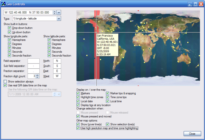
Figure 1. Geographic controls in the GeoControls sample
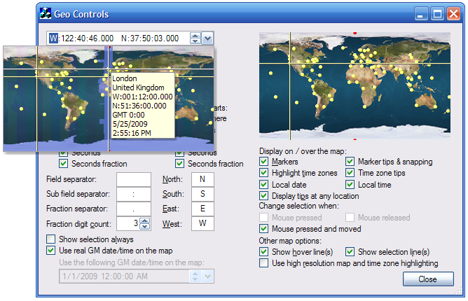
Figure 2. Geographic longitude/latitude input control with an expanded map control (on the left)